I joined the Bootcamp GIS certification program to gain exposure to Esri apps and products that I haven’t had the chance to work with through my work experience or GIS Master’s program. Below is a slideshow of some of the projects I’ve completed throughout the course of the program.
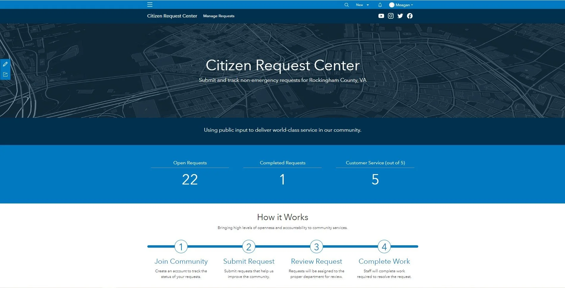
Citizen Problem Reporter app created using templates provided by Esri. This solution has a few components: 1. Reporting web app for citizens 2. Web app for staff 3. Dashboard that summarizes public reports, and 4. Webpage (click image to view)
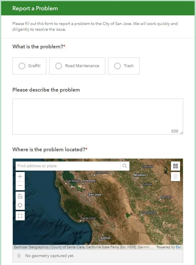
Citizen Problem Reporter Survey created using Esri's Survey123 (click image to view)
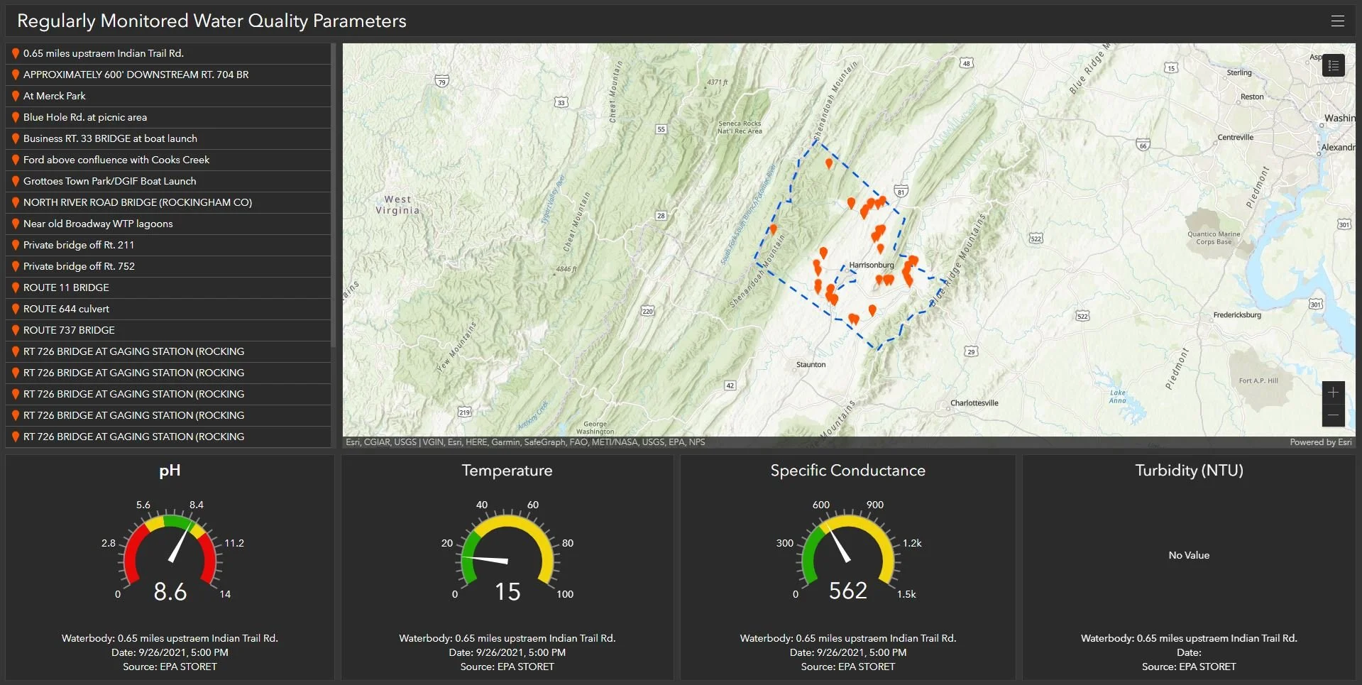
Dashboard for Regularly Monitored Water Quality Parameters in Rockingham County, Virginia (click image to view)

Mobile interactive map created with ArcGIS Field Maps showing mercury levels in Rockingham County, Virginia (click image to view)
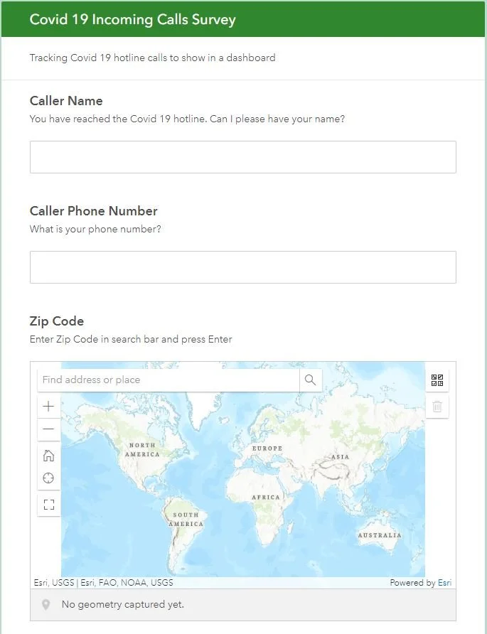
Covid-19 Symptom Questionnaire created using Survey123 to assess risk of Covid exposure and direct citizens to the proper testing and treatment (click image to view)
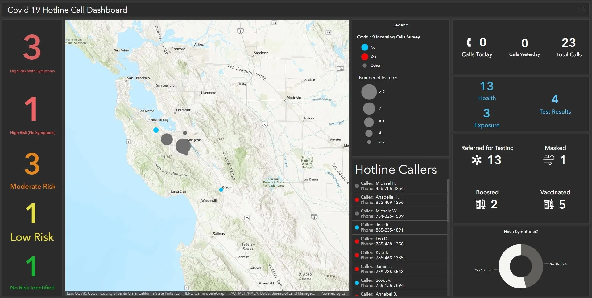
Covid-19 Dashboard showing the results of the previous survey in Santa Clara County, California (click image to view)
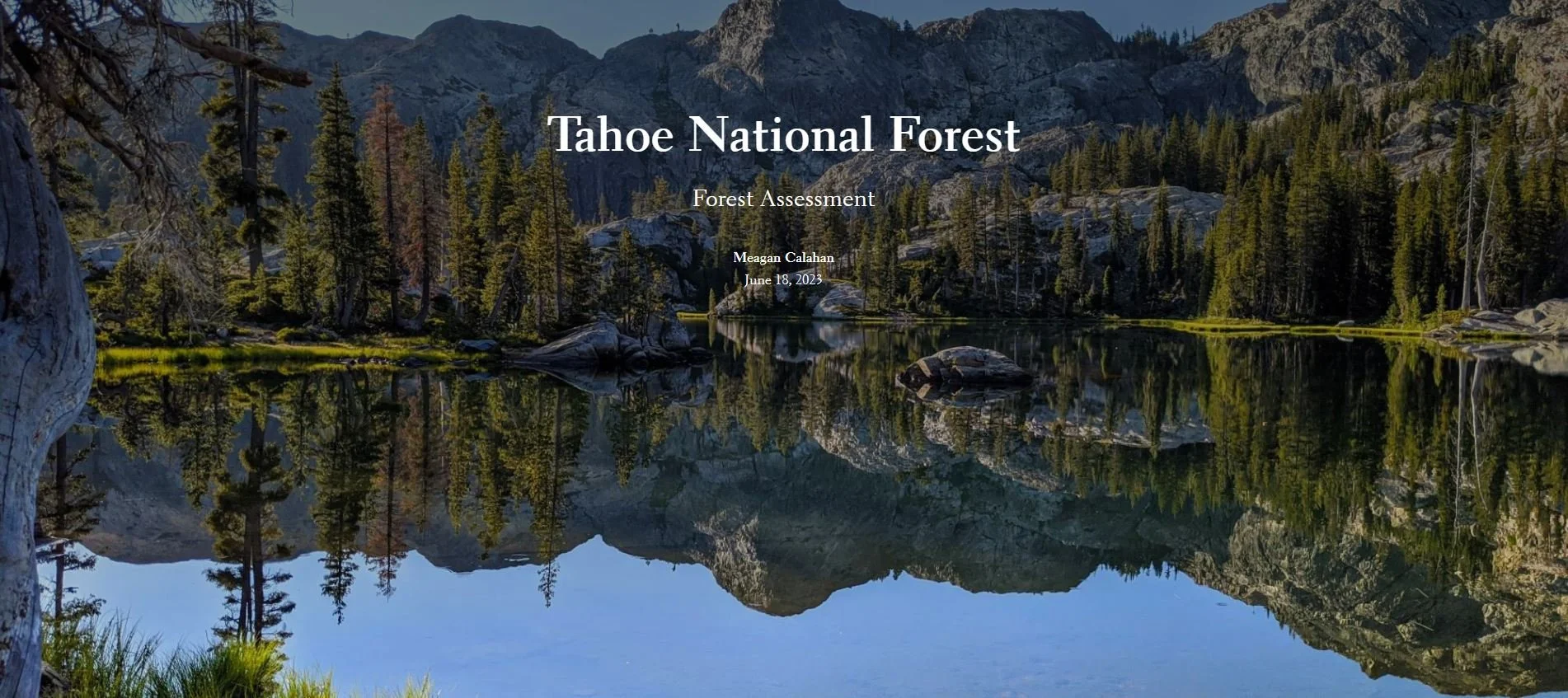
Storymap about forest planning in Tahoe National Forest (click image to view the storymap)
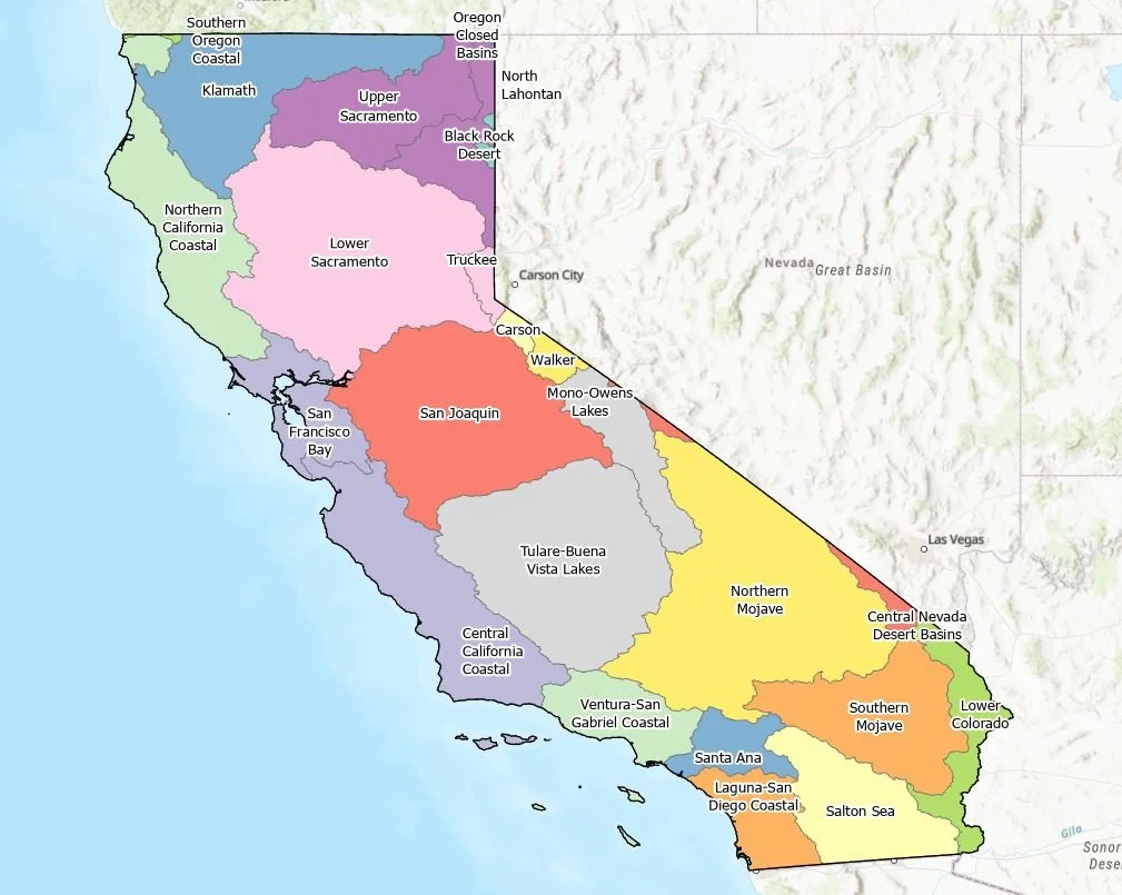
Map showing the watersheds in the state of California
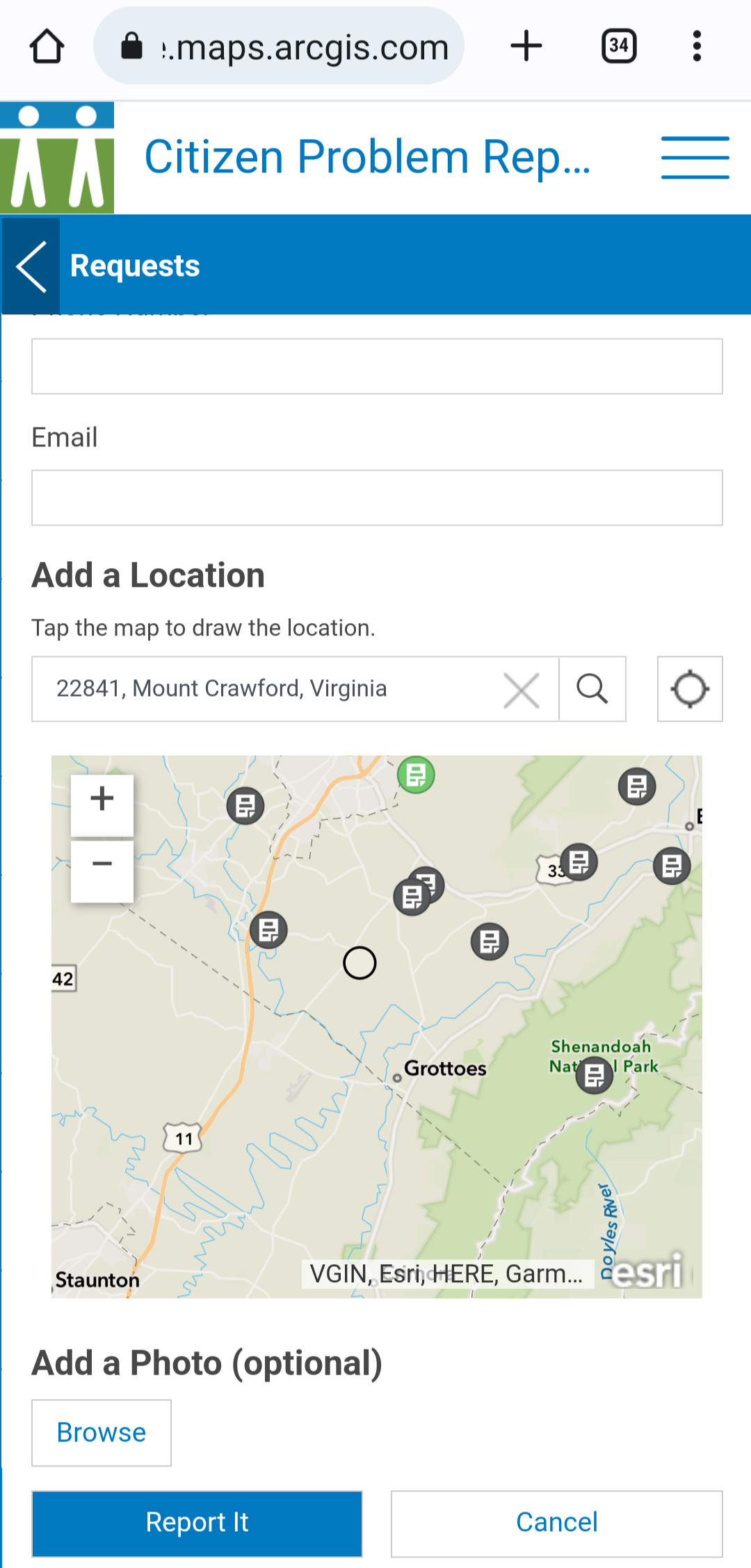
Citizen Problem Reporter App - lets you use a map to locate a problem and submit photos from your cell phone
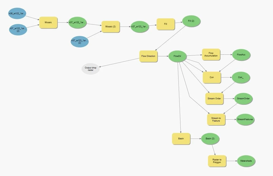
ModelBuilder tool in ArcGIS Pro - used to visualize and automate the process of watershed delineation
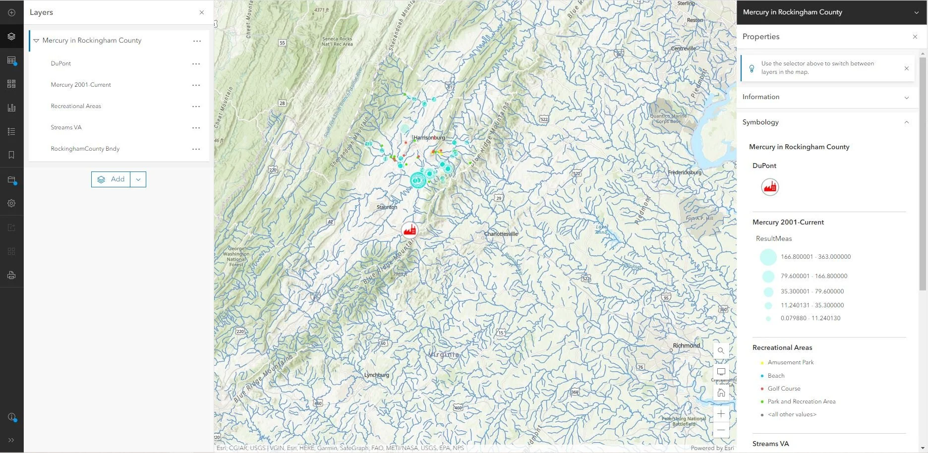
ArcGIS Online project showing locations where mercury was detected in water samples

Enterprise GIS Certification from Bootcamp GIS
