On a day to day basis, I serve in a GIS Analyst capacity for Valley Water’s Community Projects Review unit, creating layers for tracking key projects, verifying and correcting our utility mapping and ownership layers, and creating exhibits for legal agreements. I also supervise a team of 5-6 people, providing training and support for their day to day tasks.
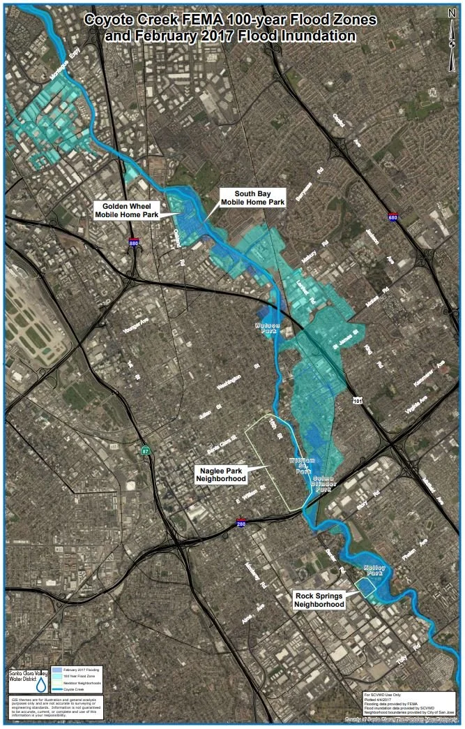
Exhibit created to show the areas of flooding during the 2017 President's Day weekend flood event in Santa Clara County in comparison to the 100 year flood zones for that area. (click image to view larger version)
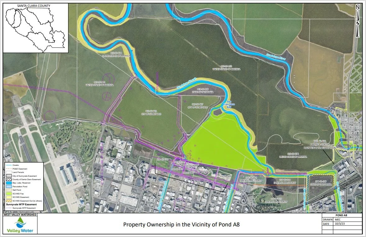
Map exhibit showing ownership and easement rights in the vicinity of Valley Water's pond A8 (click image to view larger version)
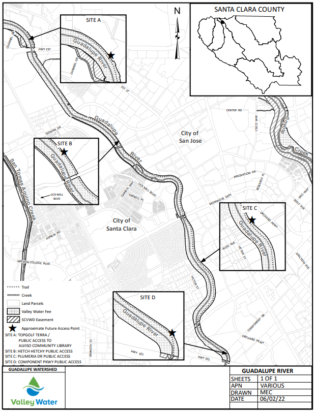
Joint Use Agreement exhibit with zoom windows showing trailhead locations.
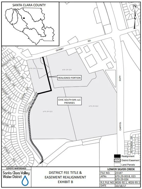
Exhibit created for a quitclaim document showing the revised location of Valley Water's easement.
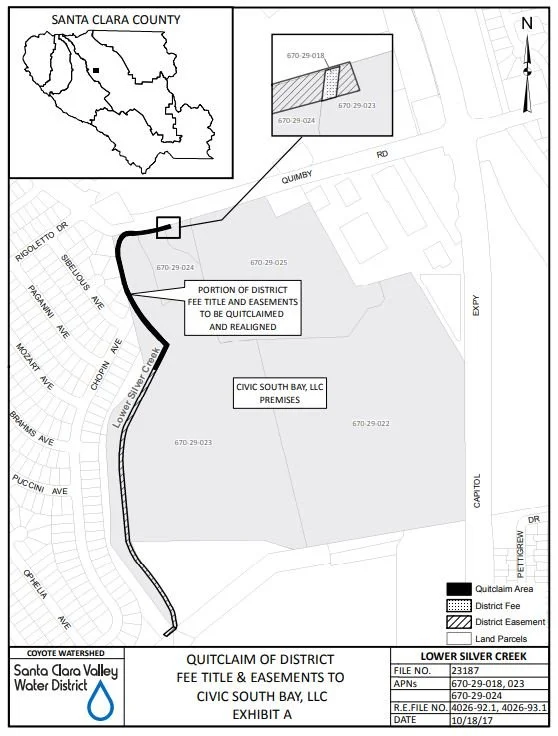
Exhibit created as part of a quitclaim document showing the section of Valley Water's easement to be quitclaimed.
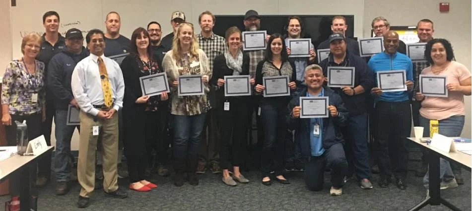
Lead Worker Academy Graduation May 2018
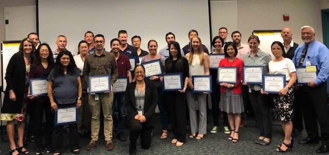
Supervisory Academy Graduation April 2019
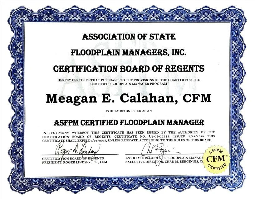
ASFPM Certified Floodplain Manager certificate
