Thesis Project
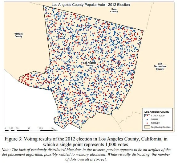
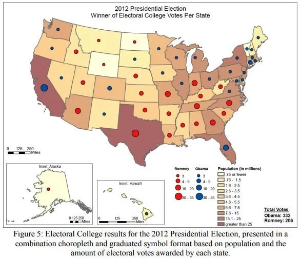
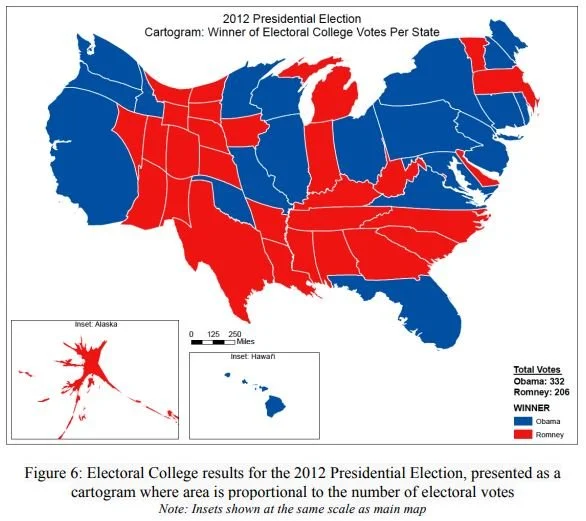
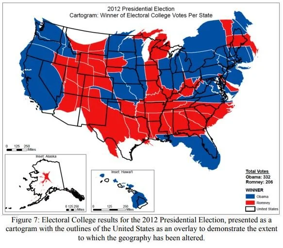
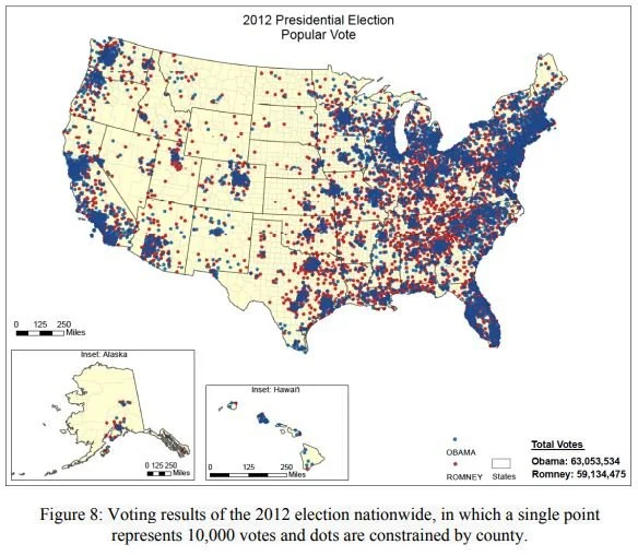
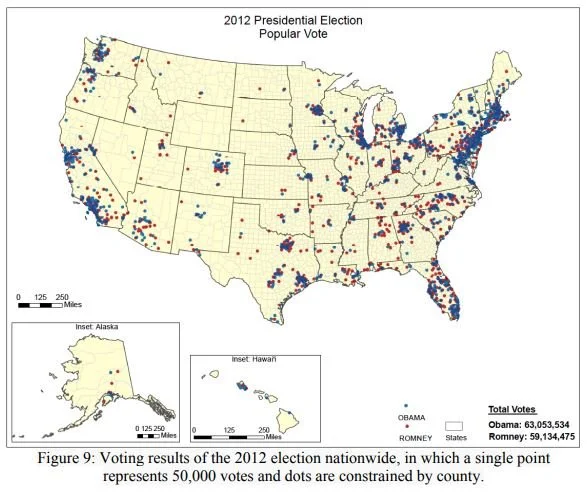
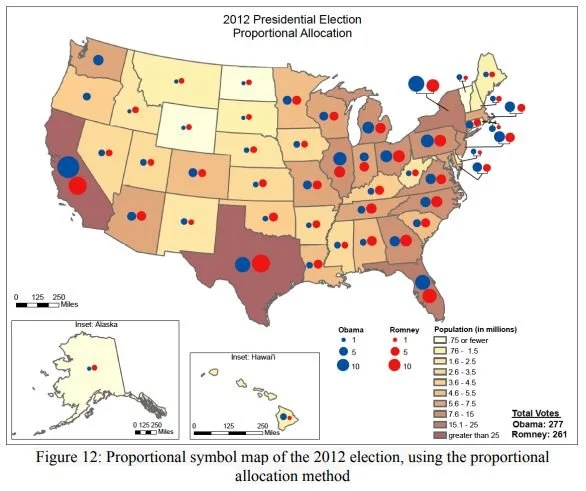
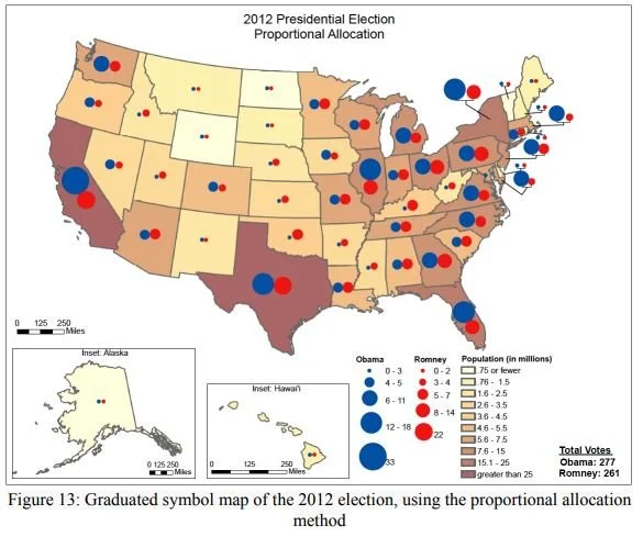
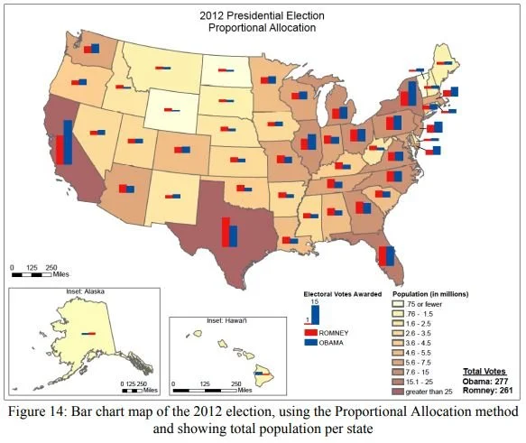
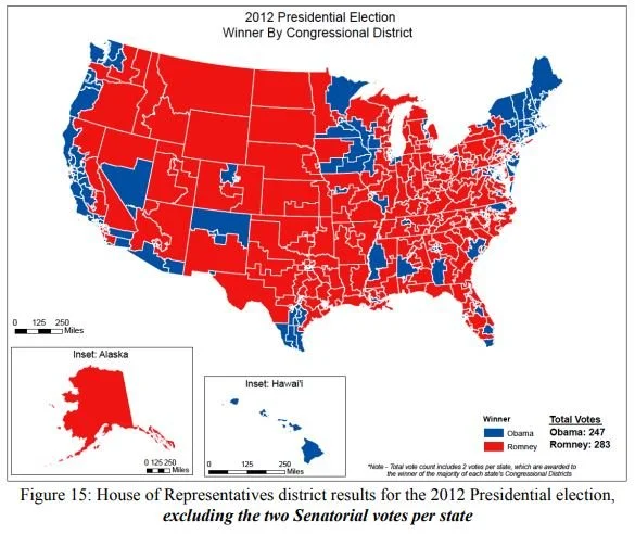
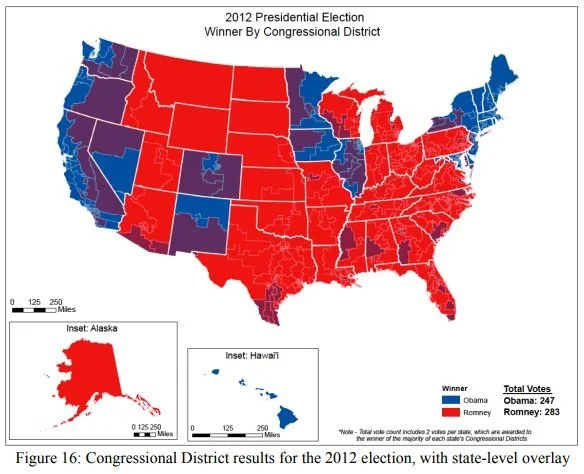
My thesis project for the University of Souther California GIS Master’s program involved using Esri’s ArcMap software to analyze the results of the 2012 United States Presidential Election to determine how the outcome would differ using various proposed alternatives to the electoral college. It also explored the impact that various mapping techniques have on public perception of the election outcome.
A sampling of maps from that project appear in the slideshow below.

